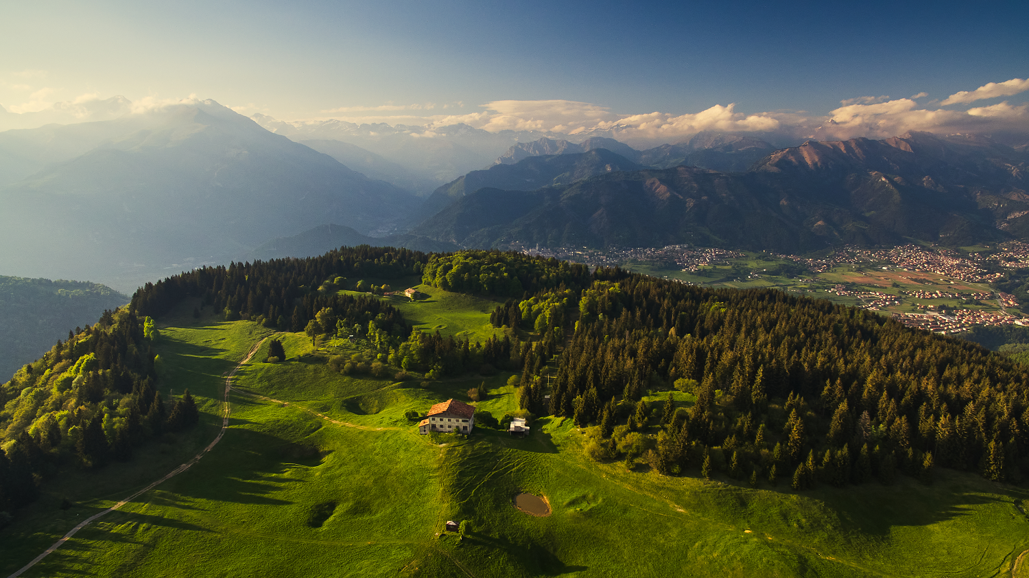
Hiking to Pizzo Formico
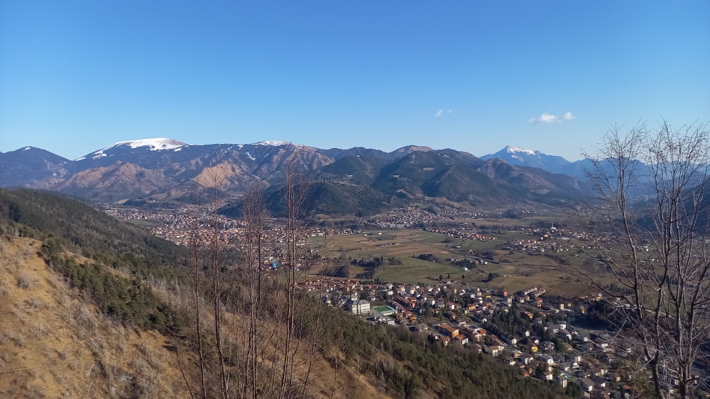
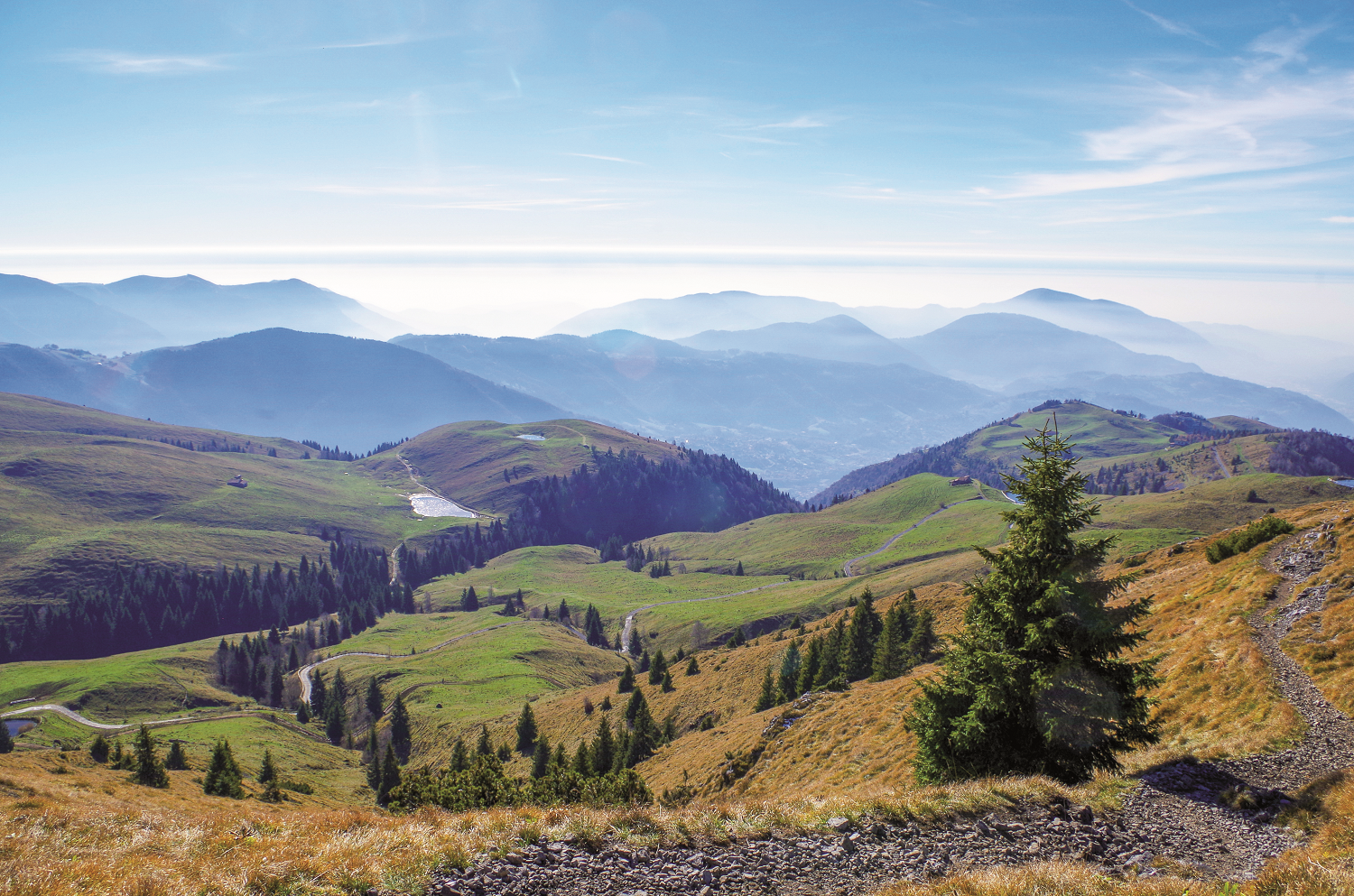
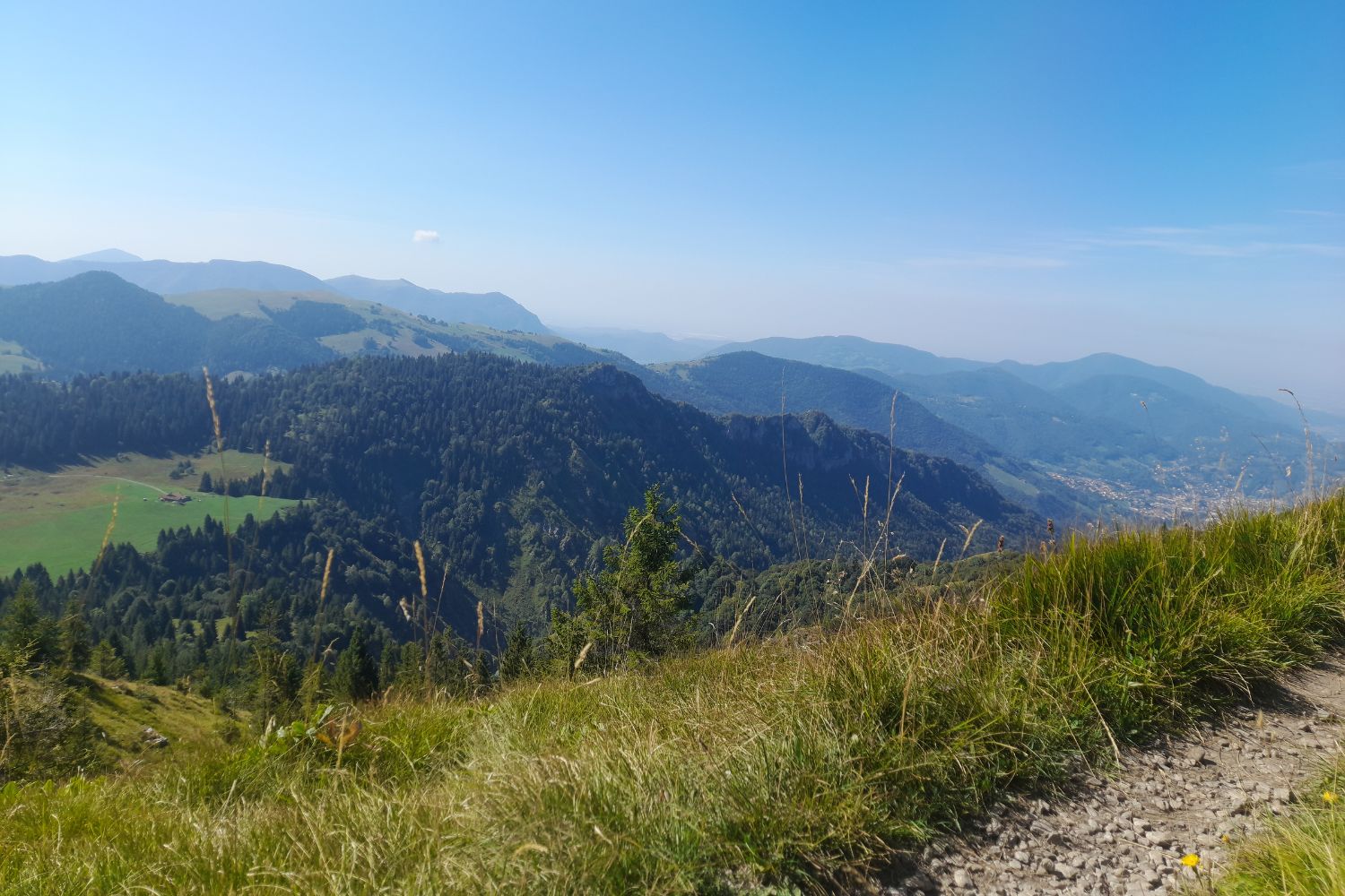
The journey to the Pizzo Formico travels along a hiking route with wonderful views of the Presolana and the Clusone plateau.
Description:
From the car park at the end of the asphalted road (with parking to be paid by a “gratta&sosta” card purchasable from the coffee shops, tobacconists or from the Clusone Tourist Office), you soon reach the panoramic terrace of the Rifugio San Lucio (at 1027 metres). Take the path behind the little church of the same name (signposted Località Pianone – Pizzo Formico – Traversata del Formico) to the Baita Pianone (at 1142 metres). Following the signs for Pizzo Formico – Trail 508, cross the clearing, leaving the large building behind you as you head towards a chalet on the edge of the forest.
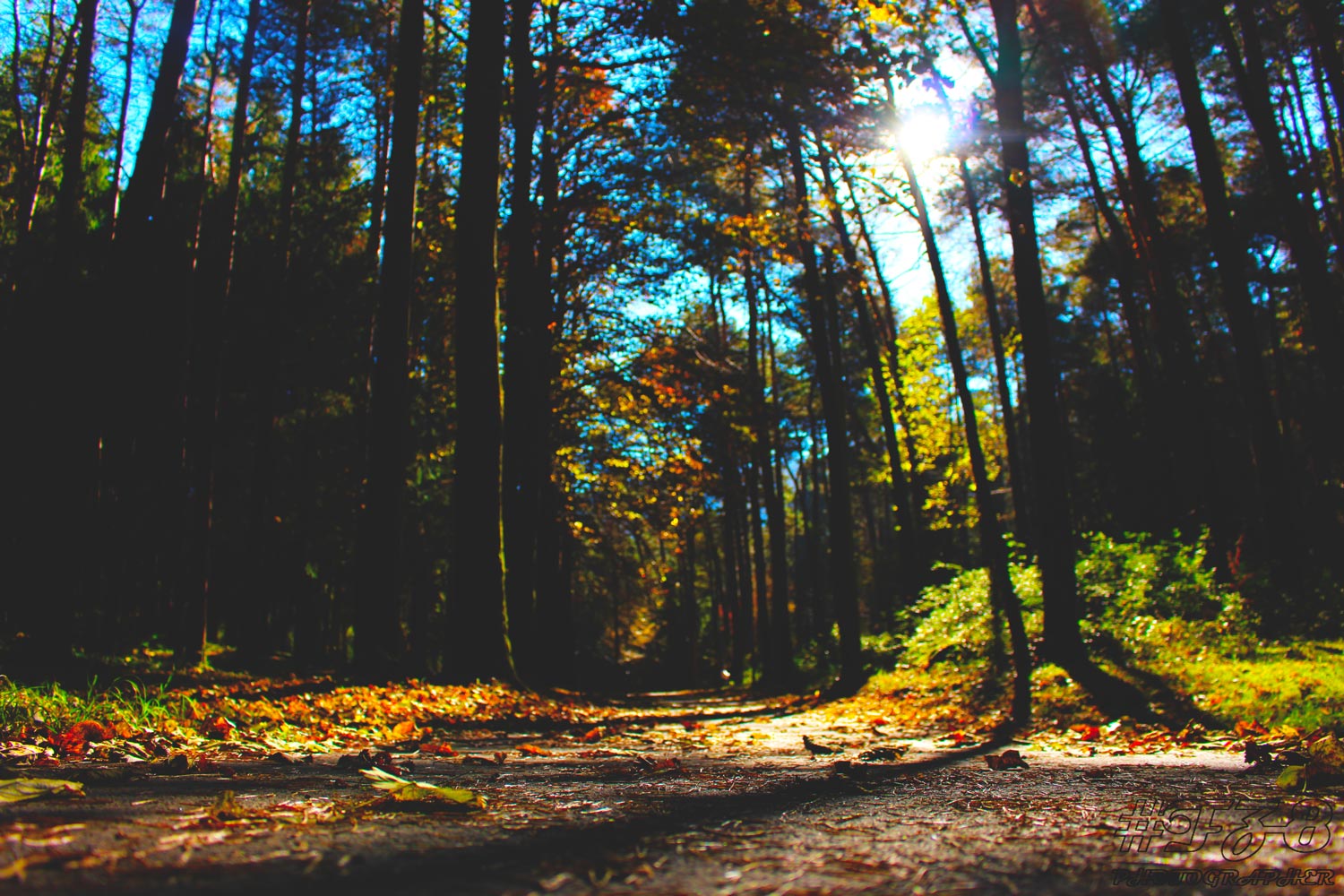
Continue to climb through the forest. After three hairpin bends, the trail heads sharply southwest along apparently flat ground for about 2 kilometres, reaching the Forcella Larga (with the Capanna Ilaria ruins at 1470 metres). Here, the view opens out onto the Monte Farno mountain range. From Forcella Larga (1470 metres), climb to the right (signposted as Pizzo Formico, taking around 30 minutes) past the characteristic bell behind Capanna Ilaria.
Keeping to the left once more then following the final section of the CAI 549 path, you’ll spy the cross on the Pizzo Formico summit. You can reach this cross after passing through a grove and a steep section of path of 1638 metres. From beneath the 12-metre-high iron cross, bask in magnificent views of the Apennines and the group of Monte Rosa, Adamello plus the Bergamo, Brescia and Lecco Pre-Alps.
Interestingly, the imposing 19-metre cross, weighing 4,390 kilometres, was placed atop the mountain to fulfil a vow made in 1993, symbolising the 19ᵗʰ centuries since the advent of Christianity. From the summit, there are breathtaking views not only of the Clusone plateau and the Val Gandino but also an expansive panoramic view of the Val Seriana, the peaks of the Val di Scalve, the Val Borlezza and Lake Iseo, spanning towards the foothills of the Pre-Alpines and the Brescian Alps, the mountain group of Adamello, the Po Valley, Apennines, the Orobie mountains of Bergamo and Lecco, along with the Alps towards Piedmont. In addition, under special circumstances and on anniversaries, the cross is illuminated at night with 70 lights thanks to select members of the Clusone Club Alpino Italiano.
Details
- Starting point: Rifugio San Lucio car park
- Difficulty: medium/difficult – hiking
- Difference in altitude: 600 metres
- Travel time: 2 hours (each way)
- Distance: 5.8 kilometres
Notes: mountain path
Note: mountain path


